Lānaʻi 2023
Project Goals - Preserve, Educate, Inspire

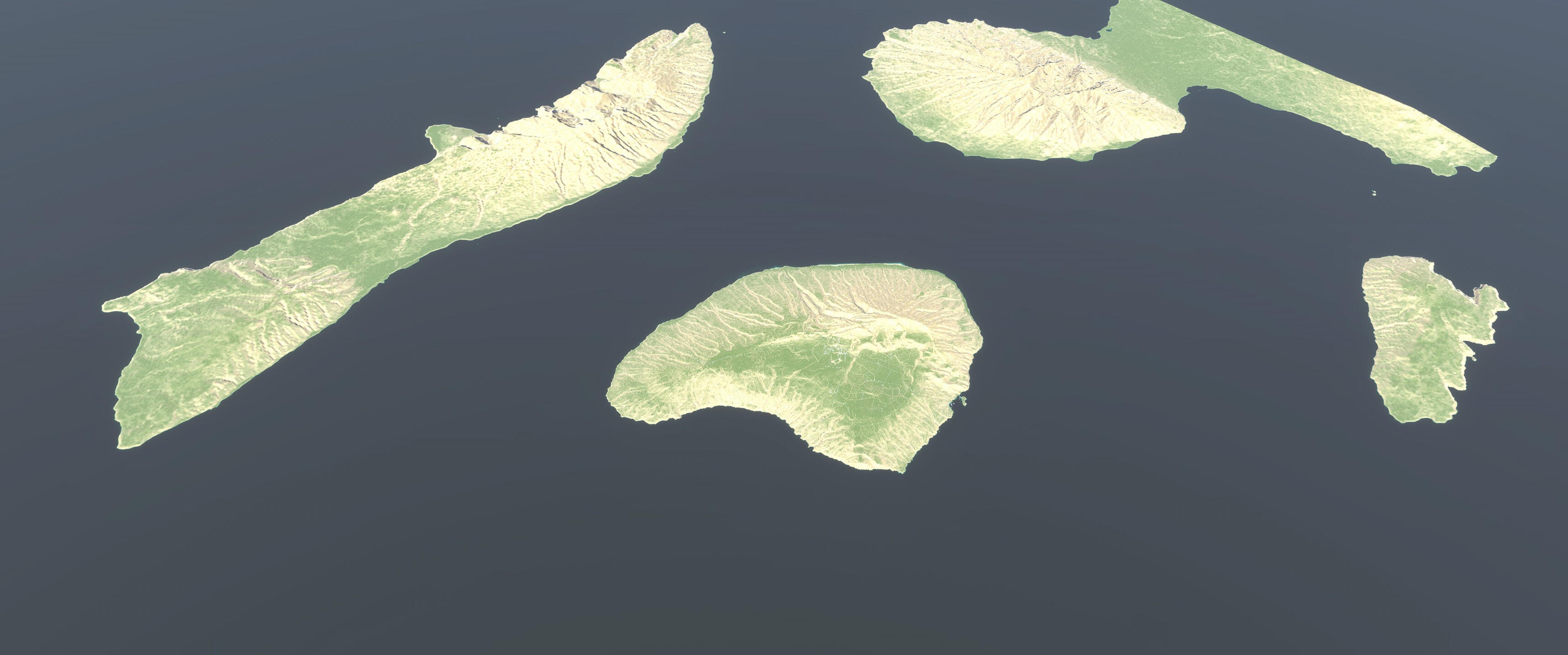
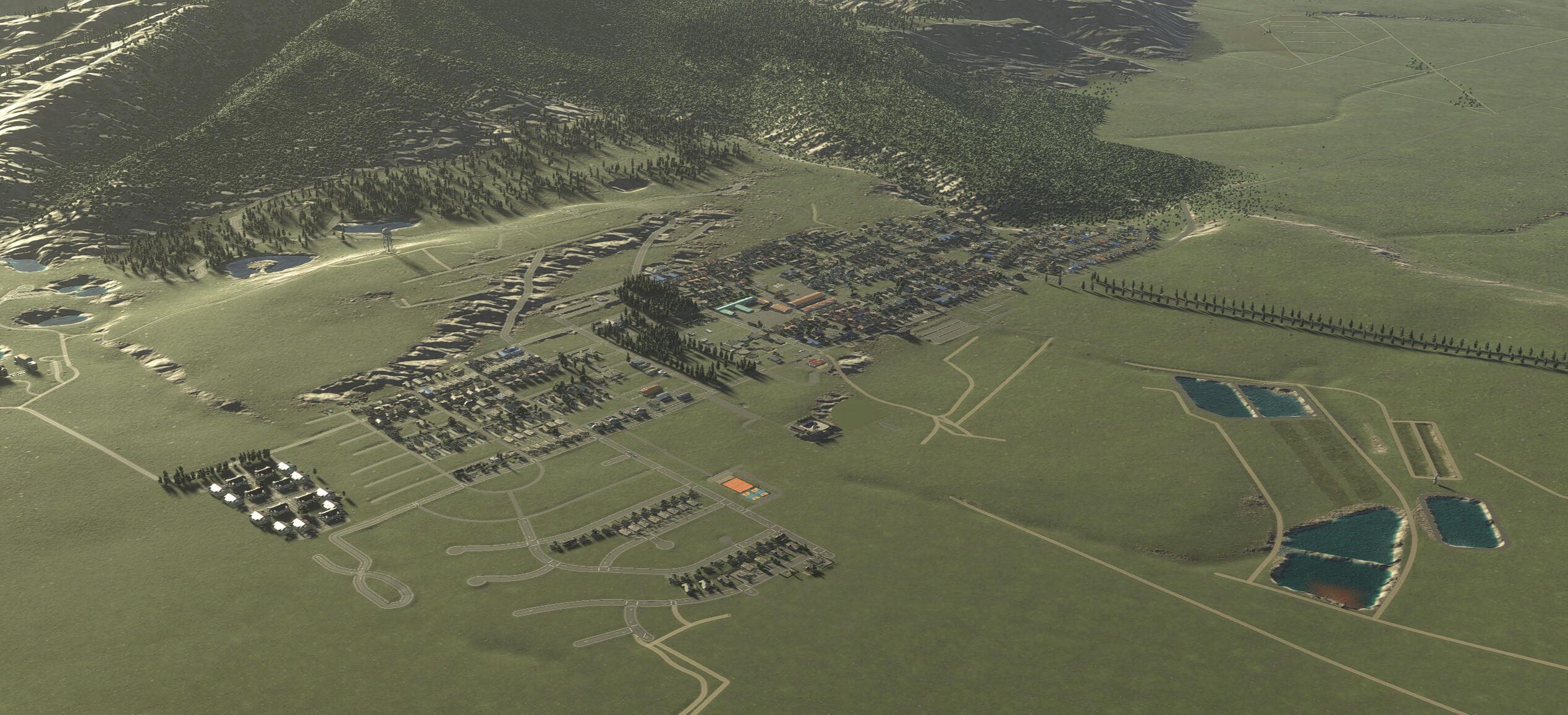
The entire island of Lānaʻi is captured in a 1:1 scale using real-world data. Being able to capture such a large area was previously impossible in city building games.

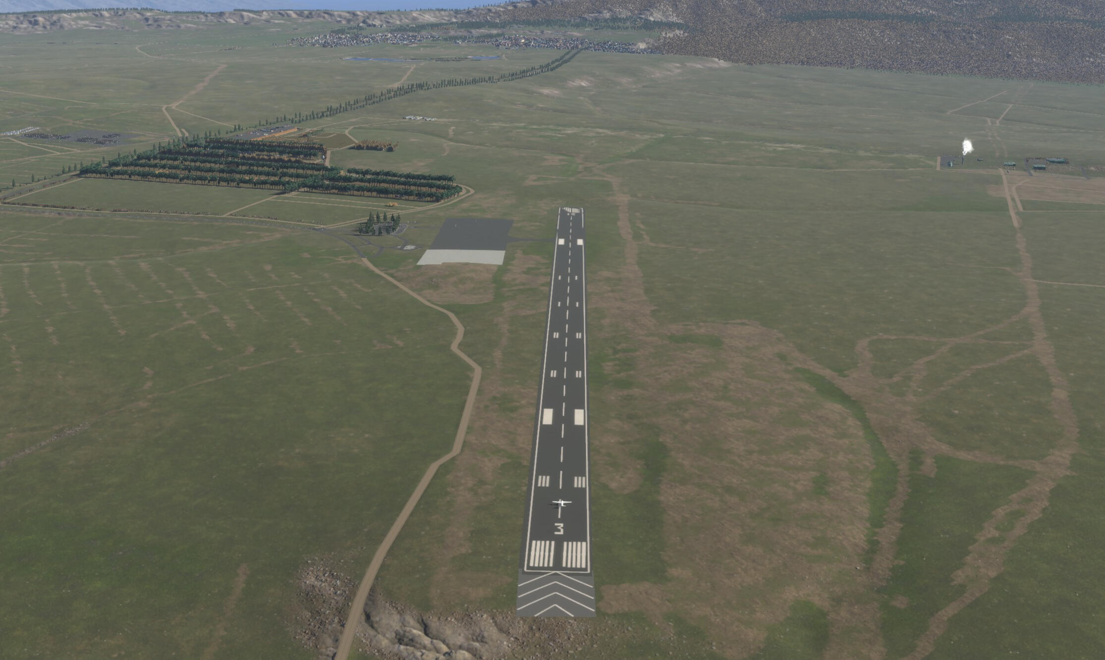
Welcome to Lānaʻi! A custom made runway with accurate markings.

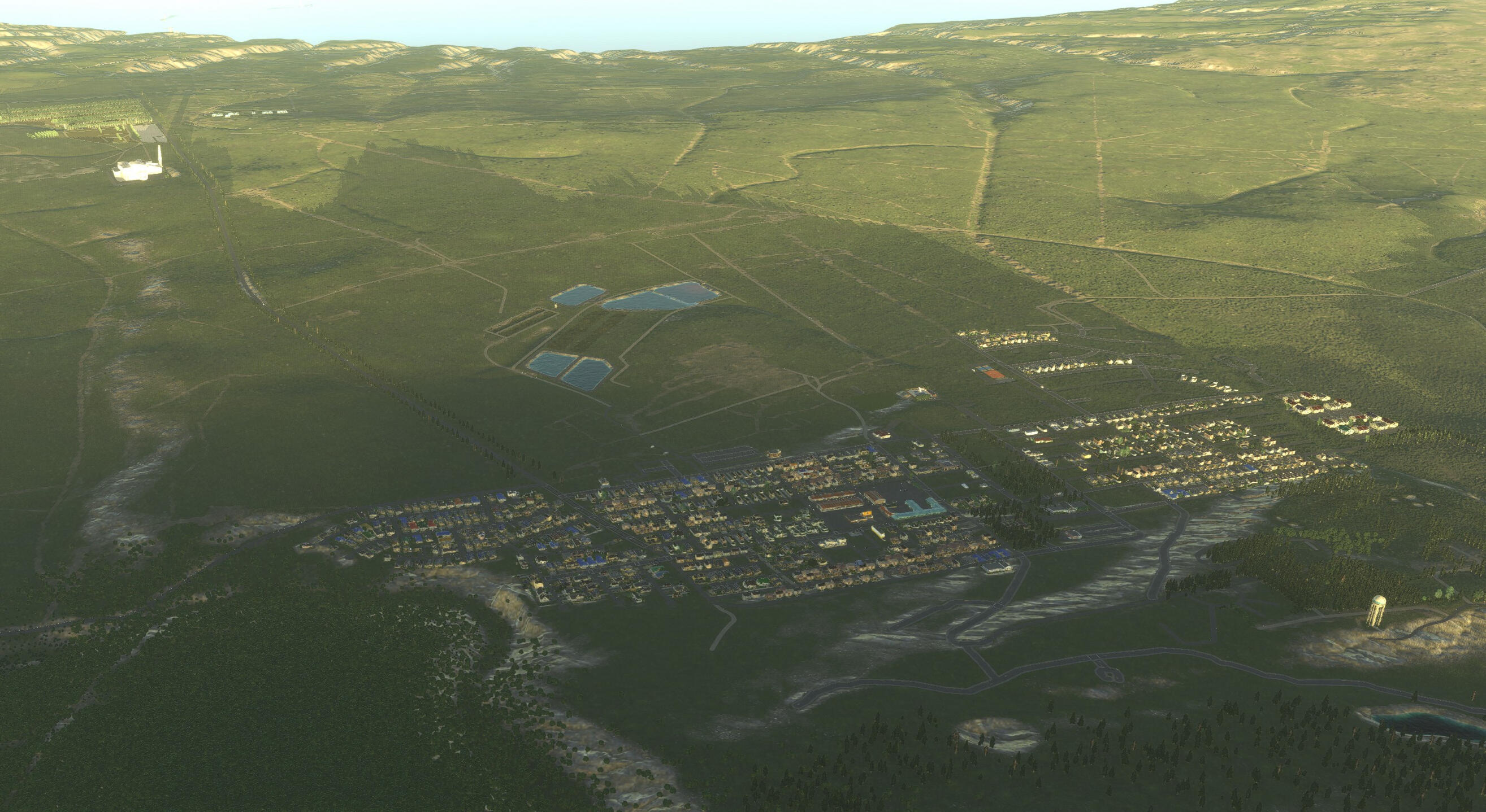
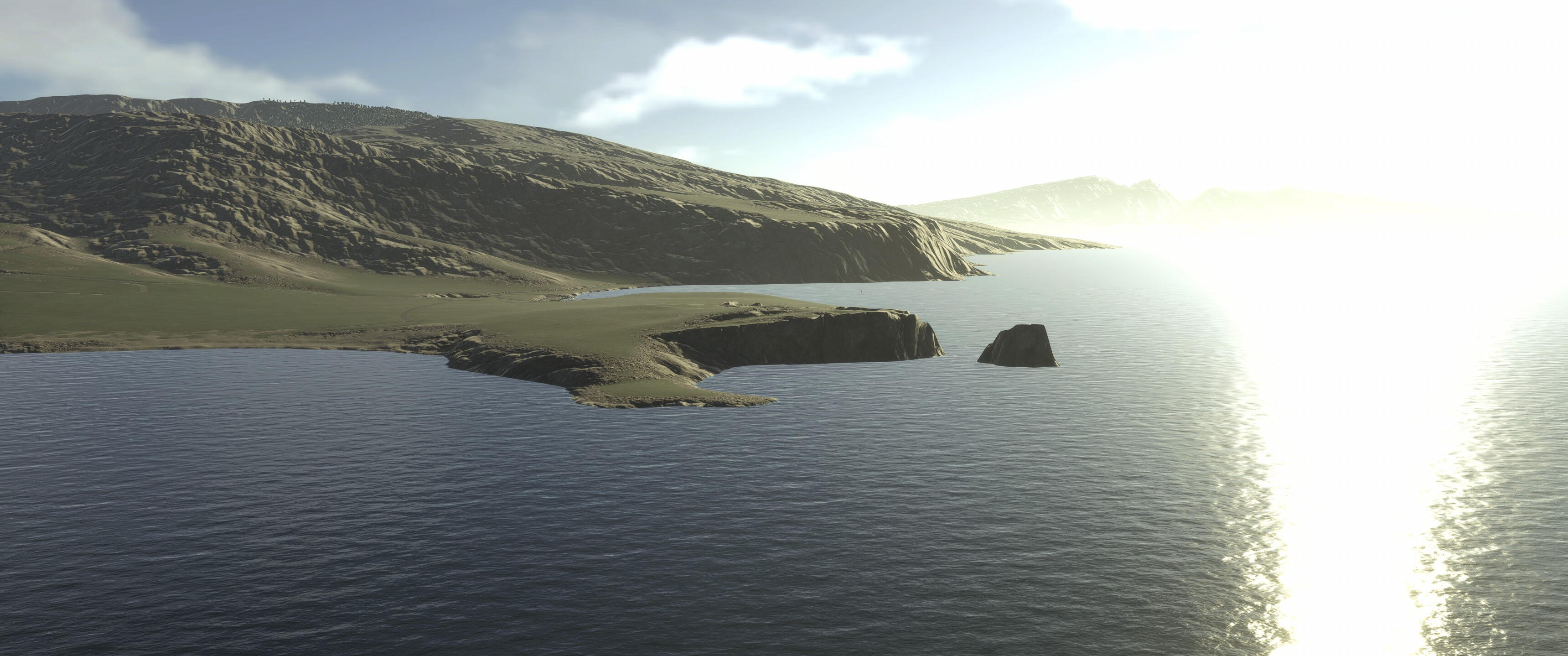
Good morning Lānaʻi! Utilizing real life GPS coordinates, the suns movements are replicated across seasons creating realistic sunrises and sunsets.

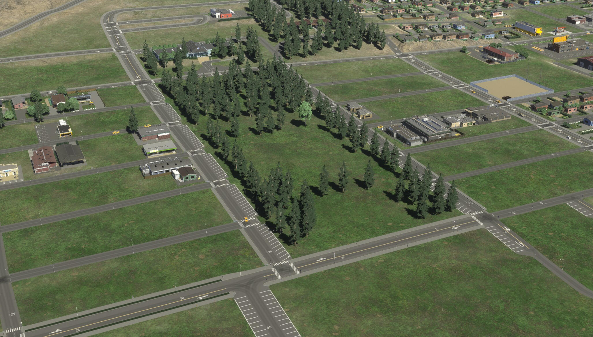
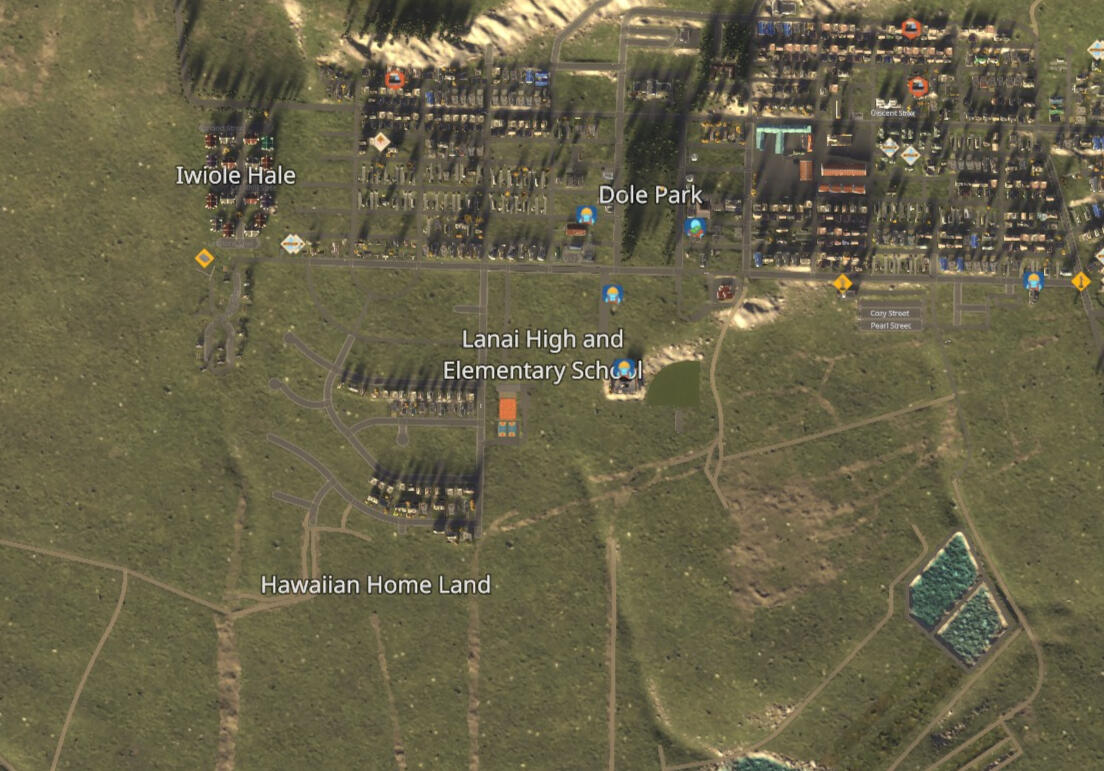
Key areas or features are highlighted in meticulous detail. Pictured is Dole Park, a centerpiece of the city and community of Lanai. Every tree was placed individually respecting its real-life location.

Residential growth is stagnant with a lack of jobs. Ouch! Too real!

The population is scarily accurate.

Districts can be highlighted to guide users to key areas.

An affordable way to view Lānaʻi!

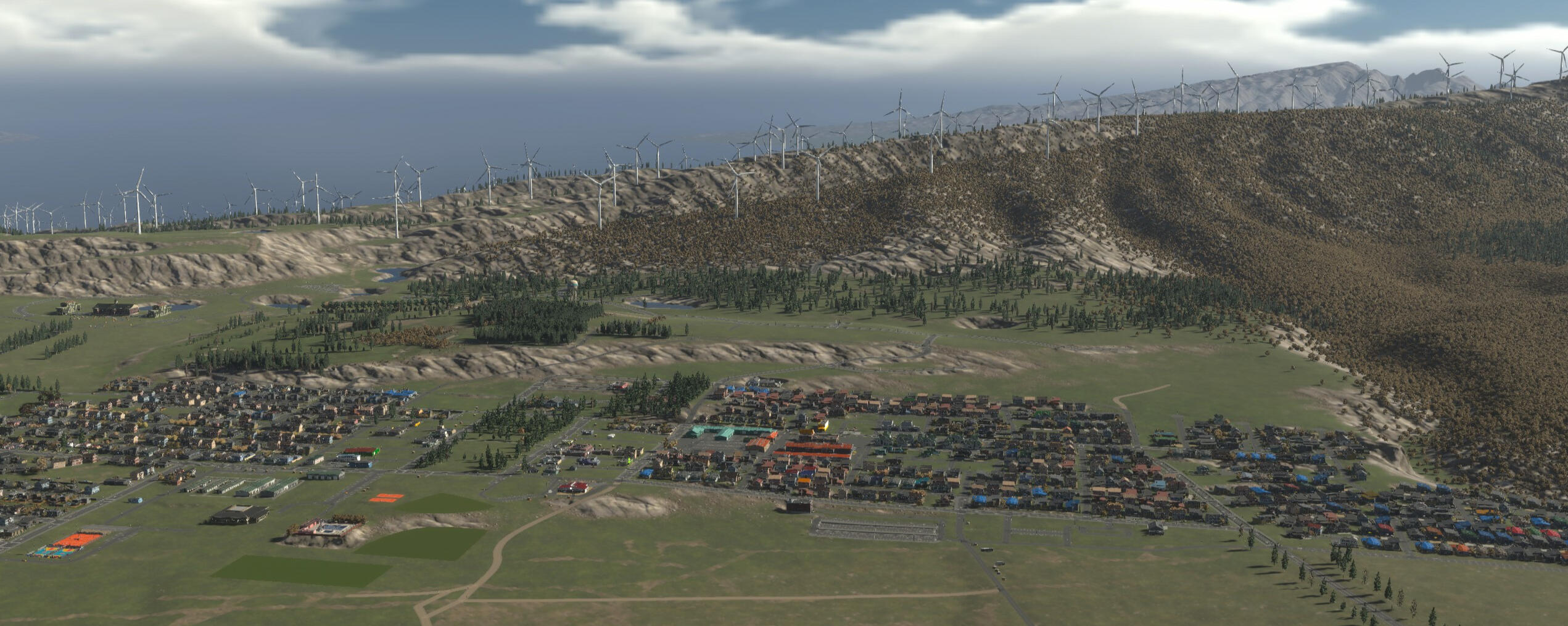
"What if?" scenarios can be built and tested with minimum risks.
Preservation
Realizing the importance and rarity of historical data, one of our founding goals is to record today’s history for tomorrow’s generations. Cities are ever-changing; while modern maps are instantly accessible, visualizing the past requires intentional effort.In Lānaʻi’s case, a town rooted in its plantation heritage, this map reveals how dramatically the landscape has shifted. With multiple expansion projects on the horizon, our work captures not only the physical layout but the cultural essence of Lānaʻi as it exists now, ensuring its story isn’t lost to development.
Education
Unlike traditional static maps that prioritize geography and landmarks, this Lāna'i map leverages the simulation mechanics of Cities: Skylines II to expose the critical, often unseen systems that sustain urban life. It functions less like a fixed model and more like a living diorama, something you can observe, but also open up, trace, and interact with. By reconstructing the city with real-life data, the project transforms abstract utilities into tangible learning tools.Our map replicates the real locations of physical infrastructure, power generation, water filtration, sewage treatment, and waste management, with capacities that can be configured to reflect real-world data. In the game, these systems aren't optional; without them, the city fails. This mechanic teaches a vital lesson: urban survival depends on systems we rarely see.Lāna'i's waste management offers a striking real-world example. The island currently relies on a single landfill with a real, finite lifespan, a constraint most residents rarely think about day to day. In the simulation, that same constraint plays out directly: once the modeled landfill reaches capacity, the consequences are immediate and visible. It's a small but vivid way of making a real, present-day limitation impossible to ignore.Beyond pipes and wires, the map highlights social infrastructure: schools, police stations, clinics, and fire departments. In Cities: Skylines II, these services directly affect citizen happiness, safety, and education levels.
Inspiration
This map is not a finished product but a foundation for infinite possibilities. Its interactivity lets users move beyond observation into experimentation, testing real proposals like the historical "Big Wind" project, once slated to bring 170 turbines to Lāna'i, to see how such projects might reshape the horizon or strain local utilities. At scale, this becomes something no single study could replicate, many minds independently reimagining the same real problems, generating ideas for planners and the community to weigh.Just as valuable is what this exploration can spark. A student rerouting roads or rethinking a power grid is engaging with real questions in urban planning and infrastructure design, sometimes for the first time. We hope this map opens a door into fields some users might never otherwise explore.The platform also offers creative freedom beyond planning. Users aren't bound by reality, they can turn Lāna'i into a futuristic eco-haven, a dense metropolis, or something that never existed. Backed by an active modding community, the map can keep growing, its story limited only by the imagination of those exploring it.
FAQ
Why Lānaʻi? - Lāna'i is a small island with a story worth telling on its own, a town rooted in plantation heritage, facing real change from expansion projects on the horizon. Its compact scale also made it possible to build a detailed, accurate 1:1 recreation in a reasonable timeframe, making it a natural place to start.Why 2023? - Much of the visual data comes from aerial view photos from various mapping sources. 2023 happens to be the most current data available.How was this made? - The map was made in a modified version of Cities: Skylines 2.How can I access the map? - The completed map will be shared for free on Paradox mods - the official source for community content. A copy of Cities: Skylines 2 is required along with the required (free) mods. DLC may be required to access all features.How accurate is this? - Very accurate in some ways, terrain, roads, and building placement are based on real GIS and satellite data, and reasonably approximate in others. It's a faithful recreation, not a precise scientific model, and we're always working to improve it.Can I support this project? - Yes. We welcome support through Ko-fi and Patreon. Every bit helps keep the project moving forward.Are you working with any local organizations? - We're always open to collaborating with organizations, schools, and community groups. Visit our Partners page to learn more.
About Us